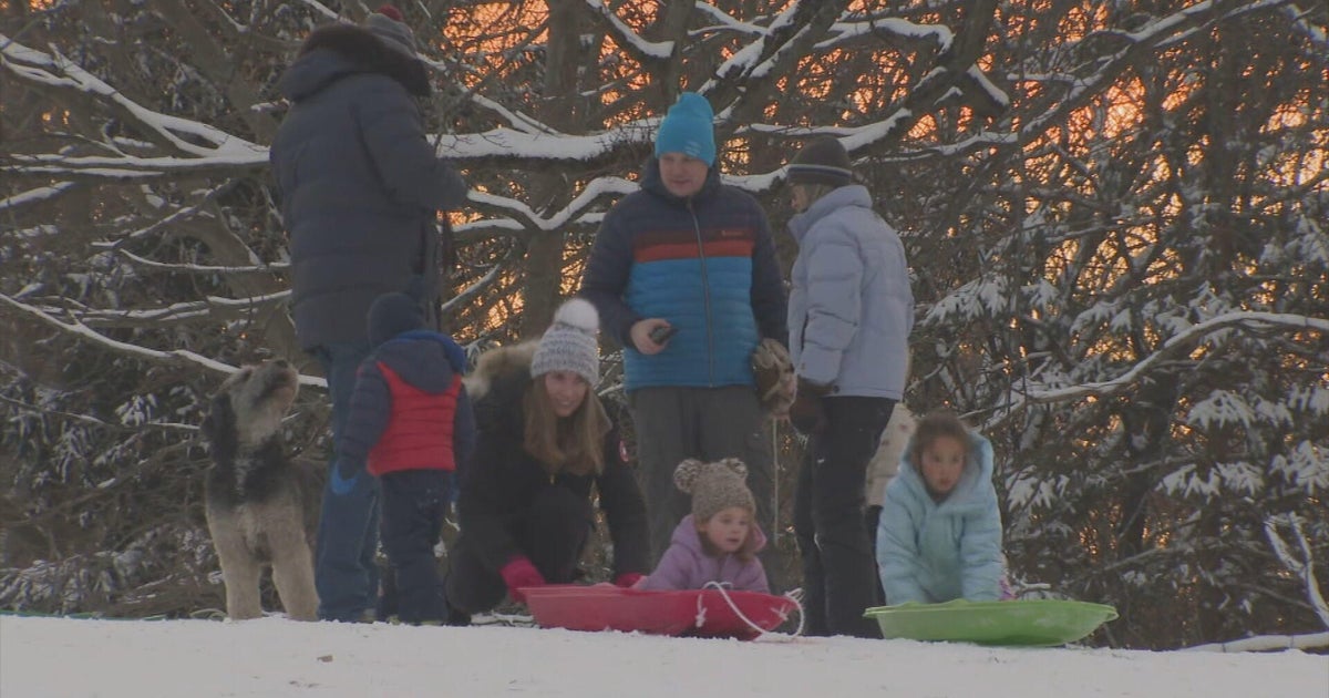
MINNEAPOLIS— Snow is piling up in Minnesota the biggest storm of the winter season trails across the state so far.
A winter storm warning is in effect for a portion of the state stretching from the North Dakota border near Fargo to Rochester in southern Minnesota. That also applies to the Twin Cities.
Snow numbers were heavy all morning, but slowed down around noon and will eventually end in the evening.
Impressive snow totals are reported by WCCO NEXT Weather Watchers across the state.
Trent Witz in Minneapolis recorded 4.2 inches before 9 a.m. Roger Hintze in Shoreview saw 4.5 inches around the same time.
Farther north in the metro, Joy Ladd reported 2.2 inches in Coon Rapids, while Kathy Born in Blaine recorded 2.5 inches. In Vadnais Heights, Richard Lauhead recorded 6 inches just before 10 a.m
The highest totals in the state are coming south of the Twin Cities, where Larry Kokoschke in Faribault reported 7.8 inches. Bernie and Nancy Hollinger measured 7.2 inches in Northfield and Debra Foster saw 6.2 inches in Cannon Falls.
Further south, totals have been slightly lower, with Samantha Milton reporting 3.5 inches in Owatonna.
“Okay, Mother Nature, you can turn off the snow now,” Milton said.
Jack and Jackie Luedke got 3 inches in Warsaw.
The northernmost report comes from Brainerd, where Richard Stoltman reported 3.5 cm around 8 a.m.
In central Minnesota, Melrose has 3.2 inches so far, according to Jacob Primus. Jim Hovda said 2 inches fell at Rice.
Totals in western Wisconsin range from 1.4 inches in Osceola (Margaret Bader) to 3.5 inches in the south in Trimbelle (Duke O’Brien).
Although the official numbers are coming in slower, the National Weather Service reported that 2 inches had fallen as of noon in Chanhassen, and 5 in Minneapolis-St. Paul International Airport and 2.5 inches in Eau Claire, Wisconsin.
Thursday’s storm caused numerous problems, including dozens of school closures and delays, treacherous road conditions And multiple ground stops at MSP airport.


