


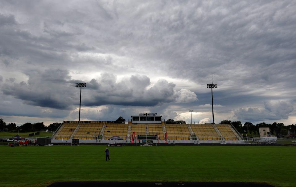
In the summer months the sky can fill with a variety of interesting and unusual cloud formations, especially during stormy weather.
Below is a list of what to look out for and what different clouds can mean for the weather:
What different clouds mean
Clouds are more than just picturesque features in the sky; they are an important indication of the weather to come.
Understanding the different types of clouds can provide insight into current conditions and help predict impending weather changes.
From towering cumulonimbus clouds that signal severe thunderstorms to the eerie, pouch-like mammatus clouds often associated with turbulent weather, each cloud formation carries unique information.
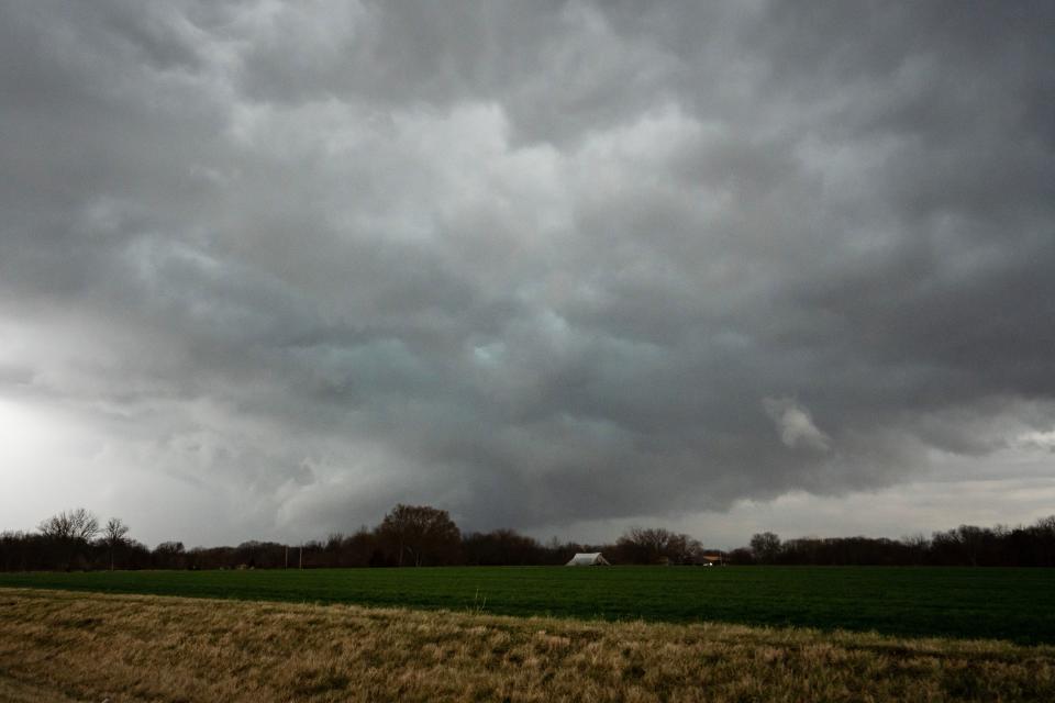
Cumulonimbus clouds


-
Towering, dense clouds with a flat, anvil-shaped top.
-
Develops from cumulus clouds and can reach great heights, often accompanied by thunderstorms.
-
Indicates that there is extreme weather, such as thunderstorms, heavy rain, hail and sometimes tornadoes.
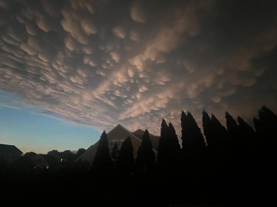
Mammatus clouds

-
Pouch-like projections that hang below the base of a cloud.
-
They usually form under cumulonimbus clouds, caused by descending air pockets.
-
Often a sign of heavy thunderstorms, but not always directly linked to dangerous weather.
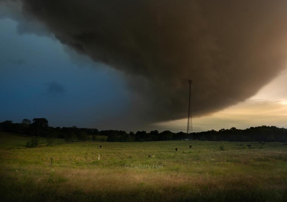
Shelf clouds

-
A low, horizontal, wedge-shaped cloud, usually associated with a front of thunderstorms.
-
Caused by cold air from a thunderstorm spreading, carrying warm, moist air with it.
-
Precedes thunderstorms and can indicate strong winds and bad weather.
Roll Clouds

-
A long, tubular cloud that appears to roll on a horizontal axis.
-
Often forms along the leading edge of a storm front or gust front.
-
Indicates a change in wind direction and can be a harbinger of severe weather.
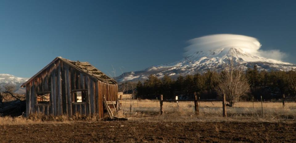
Lenticular clouds

-
Lenticular clouds that usually form over mountain ranges but can occasionally be seen in the region.
-
Created by air flowing over a barrier, such as mountains, creating standing waves.
-
They are not usually associated with severe weather, but are notable for their unusual, UFO-like appearance.
Virgo clouds


-
Fragments of precipitation that fall from a cloud but evaporate before reaching the ground.
-
Occurs when precipitation falls through dry air.
-
Indicates that the air beneath the cloud is dry; can also mean the downdraft area of a storm.
Wall Clouds
-
A local, often abrupt, descent from the base of a thunderstorm.
-
Develops in the area of strongest updraft and sometimes rotates.
-
May indicate the presence of a mesocyclone and possibly a tornado.
Scud clouds
-
Low, wispy clouds appear below the main cloud base.
-
Formed from moist air lifted by outflow winds from a storm.
-
Often confused with tornadoes, they are usually harmless and indicate gusty winds.
Each of these cloud types can provide valuable clues about the weather, especially during the dynamic and sometimes intense summer storm season.
This article originally appeared on Cherry Hill Courier-Post: Are Those Pretty Clouds Dangerous? What You Need to Know About Summer Skies


